

This map shows the historical battlefields in and around the Dardanelles in detail. The monuments, forts and strategic areas on the Gallipoli Peninsula are especially carefully processed. It is an ideal resource for nature and history-based tourism, education or regional analysis.
This map is presented in a special GeoPDF format with high resolution and layer support. It can be easily opened on all devices like standard PDF files; it can be used for many purposes such as education, presentation and printing. At the same time, layers can be edited with software such as Adobe Acrobat, and it can be used with functions such as live location tracking, measurement and route creation in an offline environment with mobile applications such as Avenza Maps. With its technical accuracy, aesthetic appearance and versatile structure, this map offers much more than an ordinary map.
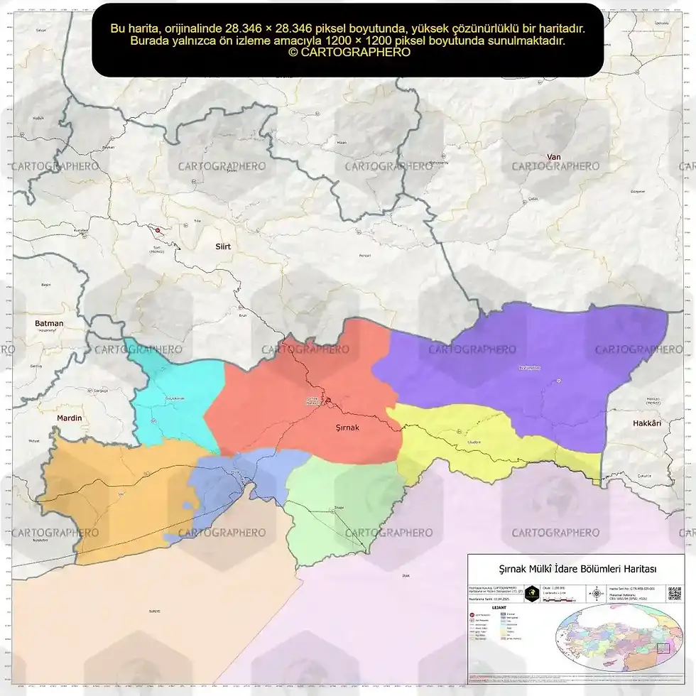
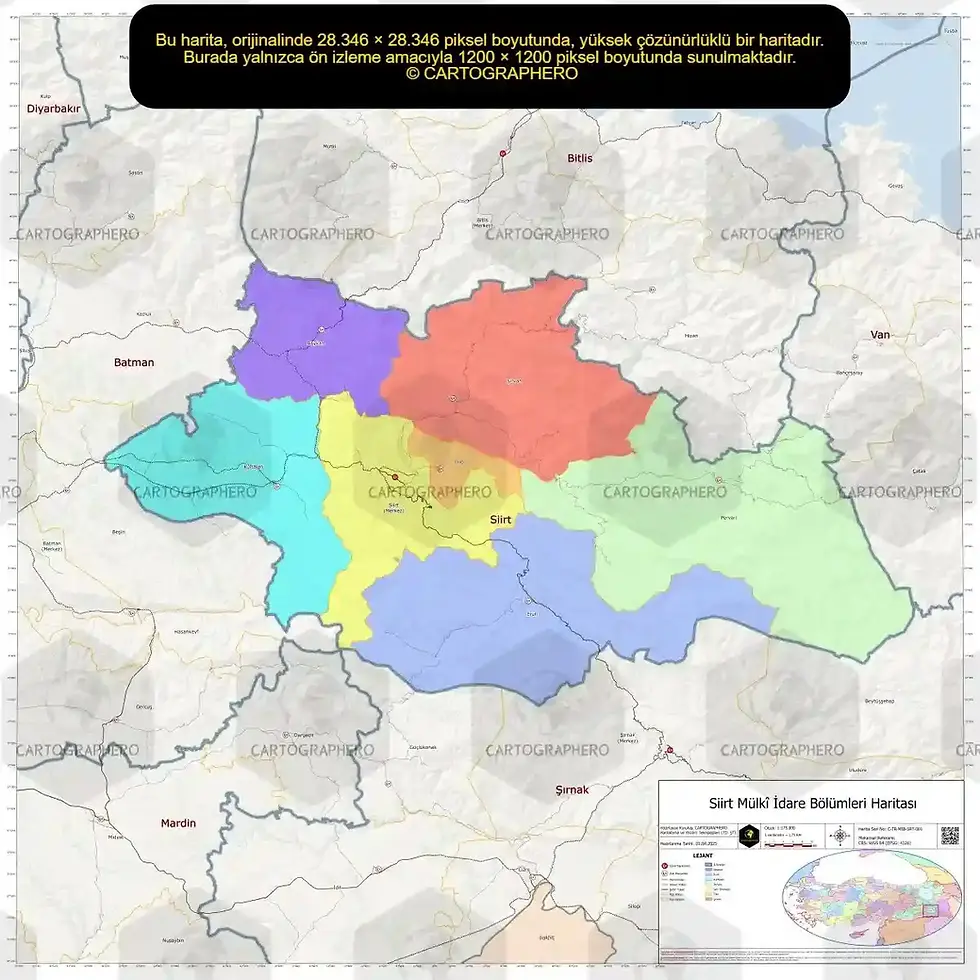
Map of the Dardanelles and Battlefield Area
| Map Format | GeoPDF |
| Map Scale | 1/25,000 |
| Map Width | 1200mm |
| Map Height | 2400mm |
| File Size | 28MB |
Our maps are prepared in high resolution to avoid loss of detail. They can be used in different sizes while preserving the original aspect ratio, thus maintaining quality and clarity at all scales, from large posters to small prints.


