
Photogrammetry Software Courses
Our training is designed to help you take your projects to the next level by mastering industry-leading photogrammetry software.
What Awaits You?
Ability to calculate volume and measure accurately.
Ability to create and customize 3D models.
Integrating photogrammetric output directly into the GIS environment.
Software We Use in Training


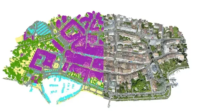
ArcGIS Pro/ArcGIS Online
ArcGIS Mapper is a geographic information system (GIS) for visualizing data. It displays data on a map, making it easier to understand geographic patterns, relationships, and trends.

Pix4DMapper
Pix4Dmapper is photogrammetry software that generates high-precision 2D maps and 3D models from drone and camera images. It processes the images to create measurable and analyzable digital replicas of terrain, structures, and surfaces.


DJI Terra
DJI Terra is mapping software that transforms images captured by DJI drones into high-accuracy 2D maps and 3D models. It accelerates data collection, processing, and analysis during flight.
Your Path to Success is With Us
1
Precision Guarantee
We offer precise measurements with our RTK/PPK supported drones.
2
Above Standards
We always inspire confidence with our quality processes in the field.
3
Time-Saving Solutions
We complete your projects quickly and deliver data from the field to your desk.
4
Expert Team
Our experienced pilots and data processing experts take care of every detail.
5
Support and Consulting
We are with you and provide guidance at every stage of your project.
6
Industry Compatibility
With CAD, GIS and BIM integration, we seamlessly transfer your outputs to your business processes.

Let's Shape Your Project Together
Weekdays: 9:00 - 18:00
Weekend: 13:00-17:00