

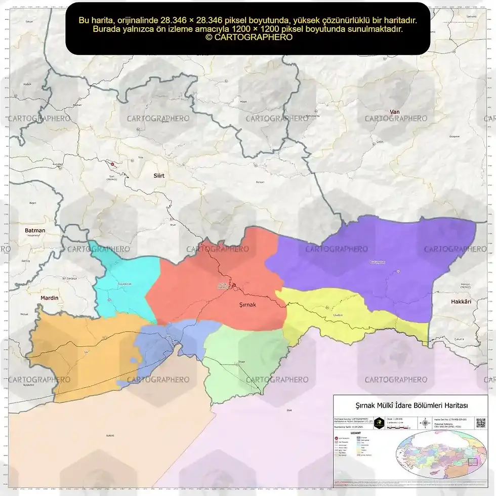
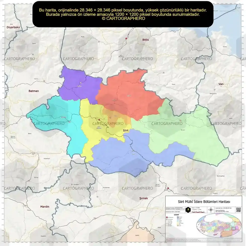
This high-resolution digital city map, showing the provincial and district boundaries of Kastamonu province, has been prepared with a simple and elegant design. The map, featuring the Star and Crescent symbolism, features detailed transportation networks, population centers, and administrative boundaries.
 This map is presented in a special high-resolution GeoPDF format with layer support. Like standard PDF files, it can be easily opened on all devices and used for a variety of purposes, including education, presentation, and printing. Layers can also be edited with software like Adobe Acrobat, and mobile apps like Avenza Maps can be used offline for live location tracking, surveying, and routing. With its technical accuracy, aesthetic appeal, and versatility, this map offers much more than just an ordinary map.
 The Kastamonu political map is an ideal choice for those seeking detailed maps. It's available in both offline and online formats to meet your map needs. You can also use the Kastamonu map offline whenever you want.
 Its visual map feature also makes it suitable for decorative use. Whether you need a large-scale map for educational purposes or a small-scale map that offers a bird's-eye view of the city, the Kastamonu province map meets all your expectations.
 The web map format is accessible via a browser and can be easily used in map web projects. It is also designed to integrate with map applications.
 Kastamonu's political map, created with the most up-to-date map data, is a professional solution for those seeking a scaled map. Map prices vary depending on the product's size and usage.
 This product, which can also be used as a navigation map, offers a map-based experience, particularly for city exploration. The Kastamonu map, which stands out in both visual and functionality, offers users a comprehensive and satisfying experience.
 You can get this special product immediately by taking advantage of the map purchase options, or you can download it to your device as an offline map or use it in the map web or map application.
Kastamonu Political Map (With Flag Symbols)
| Map Format | GeoPDF |
| Map Scale | 1/250,000 |
| Map Width | 1200 mm |
| Map Height | 1200 mm |
| File Size | 15 MB |
Our Kastamonu political map is designed at high resolution to ensure no loss of detail. It can be resized to maintain its original aspect ratio, ensuring its quality and clarity at all scales, from large posters to small prints.


)